New tools ready when next storm hits
Published 6:00 am Sunday, January 31, 2016

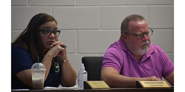
- Iberia Parish Homeland Security/E-911 Director Prescott Marshall explains the image on one of the monitors in his office in the parish courthouse, which are created from computer models indicating potential flooding areas in the event of a major hurricane.
The Teche Area has been fortunate the past few years. Each hurricane season that passes without a threat from a major tropical disturbance has residents breathing a collective sigh of relief, thankful to be spared the disruption of daily life that comes with torrential rains, high winds and the devastation of an extended dose of horrible weather.
During the interim, however, emergency managers and officials at the National Weather Service have not been idle. As we draw closer to this year’s hurricane season, new tools wait in the wings to help forecasters and local officials better plan for flooding, evacuations and the power outages that inevitably follow in the wake of a Gulf Coast hurricane.
Trending
At the highest level, a new map of potential flooding from a Category 3 storm in our region shows what most residents already knew — that any storm, at any given time, can bring flooding to any part of Iberia, St. Martin and St. Mary parishes.
“This is a combination of several different submaps,” said David Shlotzhauer of the latest Sea, Lake and Overland Surges from Hurricanes (or SLOSH) map released by the National Weather Service. “The way a SLOSH map works is that storm models are run over a defined small area, then put together to give emergency planners a worst-case scenario of what they can expect from any given storm.”
Shlotzhauer, who now works as a hydrologist for the weather service’s Lower Mississippi River Forecast Center in Slidell, knows how important advance data are for local emergency planners. Before his work as a hydrologist, he served in the Governor’s Office of Homeland Security and Emergency Preparedness working with various parish officials to prepare for potential storms.
On the current SLOSH map for a potential Category 3 hurricane, the entire Teche Area is in red — meaning that there could be up to 9 feet of storm surge pushed ahead of an incoming weather event.
“What is interesting is that the SLOSH map is not based on a specific hurricane, but on tens of thousands or hypothetical hurricanes,” Schlotzhauer said. “It represents the worst scenario of any sort of hypothetical storm. Two adjacent areas could have completely different storm models providing data. It allows the emergency management community to plan for the worst case.”
At the local level, timely data on an approaching storm are much more valuable than the larger strategic view. That is why Iberia Parish Homeland Security/E-911 Director Prescott Marshall is more excited about a new storm surge map that will be provided from the National Hurricane Center as soon as an initial hurricane watch, or in some cases tropical storm watch, is issued.
Trending
“The SLOSH map is not a completely useful metric,” Marshall said. “This new product will be released when a storm is 48 hours out, so it can be a very valuable commodity.”
Marshall said the new surge maps will be developed using data collected from the approaching storm, then modeled to give managers on the ground near real-time information about a storm’s track, speed and intensity, as well as the potential from flooding as the storm passes over an area.
“Over the years, the Hurricane Center has become much better at predicting track, but not speed or intensity,” Marshall said. “With this product, we’ll be getting updates modeled on the latest data.”
According to the National Weather Service, updates to the storm surge maps will be issued every six hours as a storm approaches landfall, approximately an hour after the regular storm updates. The hurricane center announced the new maps for the 2014 hurricane season, but so far the Louisiana coast has not had a need for the new data to be issued. Unlike the SLOSH map, which shows a worst case scenario for a region, the storm surge maps are expected to nail down potential flood levels to within 10 percent.
Marshall says his biggest concern for Iberia Parish is not the quality of the data received but rather the fact that residents have had a long spell between major storm events. For many, the same preparations they made three or four years ago might not be adequate for the next weather event.
“Thankfully we have not been affected in a long time,” Marshall said. “But for a lot of people, your home situation changes. As people in the household get older, there are more things to consider. The specific needs of the family, of your pets, have to be taken into account. You may have a family member who is on oxygen, and you need to plan for that. You may have pets that you did not have during the last storm, and considerations have to be made for them.”
Even something as simple as keeping fuel in vehicles in case of a potential evacuation order can be a lifesaver, especially in the Teche Area.
“Once a storm is approaching, you should keep your vehicles topped off,” Marshall advised. “The gas companies can’t keep every station in the state supplied. The last time we had a major event, most gas stations ran out of fuel. When a storm is close, you need to keep those tanks filled up.”